Leave a Message

Thank you for your message. We will be in touch with you shortly.

Colorado Springs Neighborhoods: How to Choose Your Area

February 19, 2026

You are not just buying a home in Colorado Springs. You are choosing your daily routine, your weekend playground, and how long you sit in traffic. With so many distinct areas across the city, it helps to use a simple, local checklist before you fall in love with a specific house. In this guide, you’ll learn how to compare neighborhoods by commute, outdoor access, housing style, services, schools, market fit, and risk so you can choose the right area with confidence. Let’s dive in.

Start with your priorities

Before you look at listings, get clear on what matters most. Define your commute tolerance, must‑have amenities, and the type of home you prefer. A focused plan keeps you from chasing the wrong area and helps your budget go further.

Commute and daily travel

  • What to measure: Drive the route to work during your actual peak times, and note typical minutes at 7:30–8:30 AM and 4:30–6:00 PM. Check transit options and frequency. Watch for known choke points like I‑25 and Powers Boulevard, and consult current CDOT advisories.
  • Why it matters: The citywide mean travel time is about 23 minutes, but that average hides big differences by neighborhood and time of day. Suburban and exurban areas often add car dependency.
  • Where to check: Review the city’s commute estimate in the U.S. Census QuickFacts, transit routes on Mountain Metro Transit, and corridor projects on CDOT’s I‑25 pages.

Outdoor access and trails

  • What to measure: Time by foot, bike, or car to major open spaces and trailheads such as Garden of the Gods, Red Rock Canyon, Palmer Park, and Pikes Peak access points. Rank what you will use weekly versus a few times a year.
  • Why it matters: Proximity to signature outdoor assets is a lifestyle driver in Colorado Springs. It also shapes weekend routines and even resale appeal.
  • Where to check: Start with the City’s Garden of the Gods Visitor & Nature Center and regional access via the Pikes Peak Highway guide.

Housing stock and age

  • What to measure: Median year built in the area, presence of historic districts, and the mix of single‑family, townhome, and condo options. Note whether you prefer historic character or newer, lower‑maintenance builds.
  • Why it matters: Older homes can mean unique architecture and tree‑lined streets. Newer homes may offer modern systems and energy features. Renovation plans may be guided by preservation overlays in certain districts.
  • Where to check: For background on historic overlays, review the Old North End Historic District.

Everyday amenities and services

  • What to measure: Distance to grocery stores, pharmacies, childcare, and parks, plus drive time to medical centers and urgent care. Note your most frequent errands and how often you will make those trips.
  • Why it matters: Convenience can outweigh a slightly longer commute. Colorado Springs clusters retail and healthcare along major corridors like Academy and Powers, so access can vary by neighborhood.

Schools and community services

  • What to measure: Confirm district boundaries, enrollment and choice policies, bus and walk‑zone rules, and how assignments work at the parcel level. Consider proximity to community centers and libraries.
  • Why it matters: Boundaries and policies can change, and assignments vary by address. Always verify the current policy with the district.
  • Where to check: Start with district sites such as Academy District 20 for official policies and links to boundary tools.

Market and affordability

  • What to measure: Recent median sale price, days on market, inventory, and sale‑to‑list ratios for your short‑listed neighborhoods. Always label the date on any stat.
  • Why it matters: Prices and speed of sale can vary widely across the city and can change month to month. Align your search with up‑to‑date data so you are prepared to act.

Hazards and land‑use constraints

  • What to measure: Wildfire exposure, floodplains, steep slopes, and utility or road projects that could affect access. Verify parcel‑level risk and any mitigation steps.
  • Why it matters: Risk and land‑use overlays can influence insurance, maintenance, and long‑term plans.
  • Where to check: Use Colorado’s state wildfire planning resources and mapping tools as a starting point at the Planning for Hazards portal.

HOA, covenants, and future development

  • What to measure: Whether an HOA exists, dues and rules, architectural controls, and any planned annexations or large developments nearby.
  • Why it matters: Covenants shape what you can change on your home and lot. Future projects can affect noise, traffic, and long‑term value.

Colorado Springs area types explained

Colorado Springs stretches along the Front Range with distinct west‑to‑east differences. Use these neutral profiles as a starting point, then verify details at the neighborhood level.

West: Old Colorado City and Manitou Springs

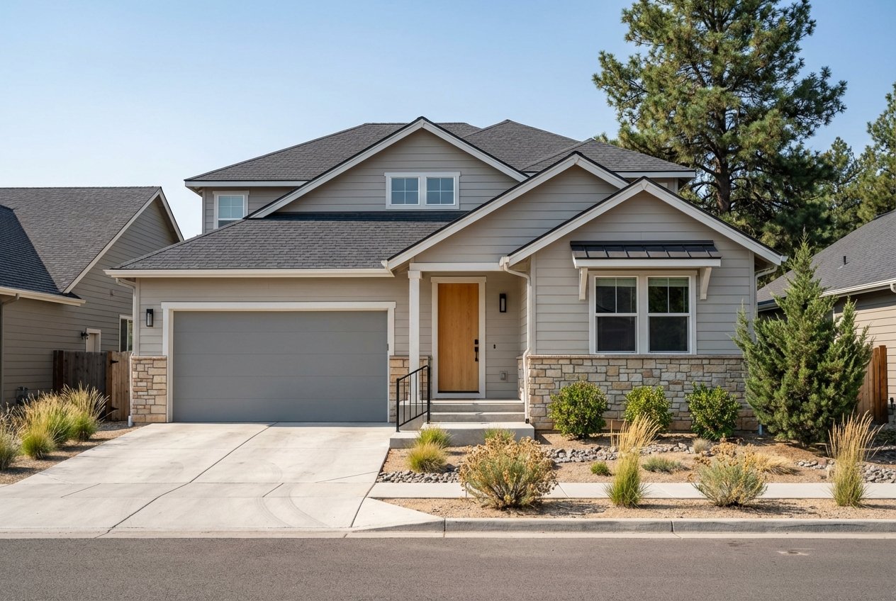
Neighborhoods west of I‑25 put you closest to Garden of the Gods and Red Rock Canyon. You will find many early‑20th‑century homes and walkable commercial streets, especially around Old Colorado City. Tourist activity can increase seasonal traffic, but weekend trail access is excellent. Commuting north or south on I‑25 often starts with a short drive to the freeway.

Central: Downtown and Old North End

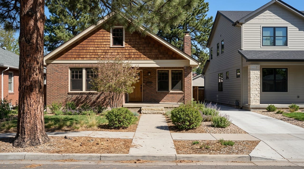
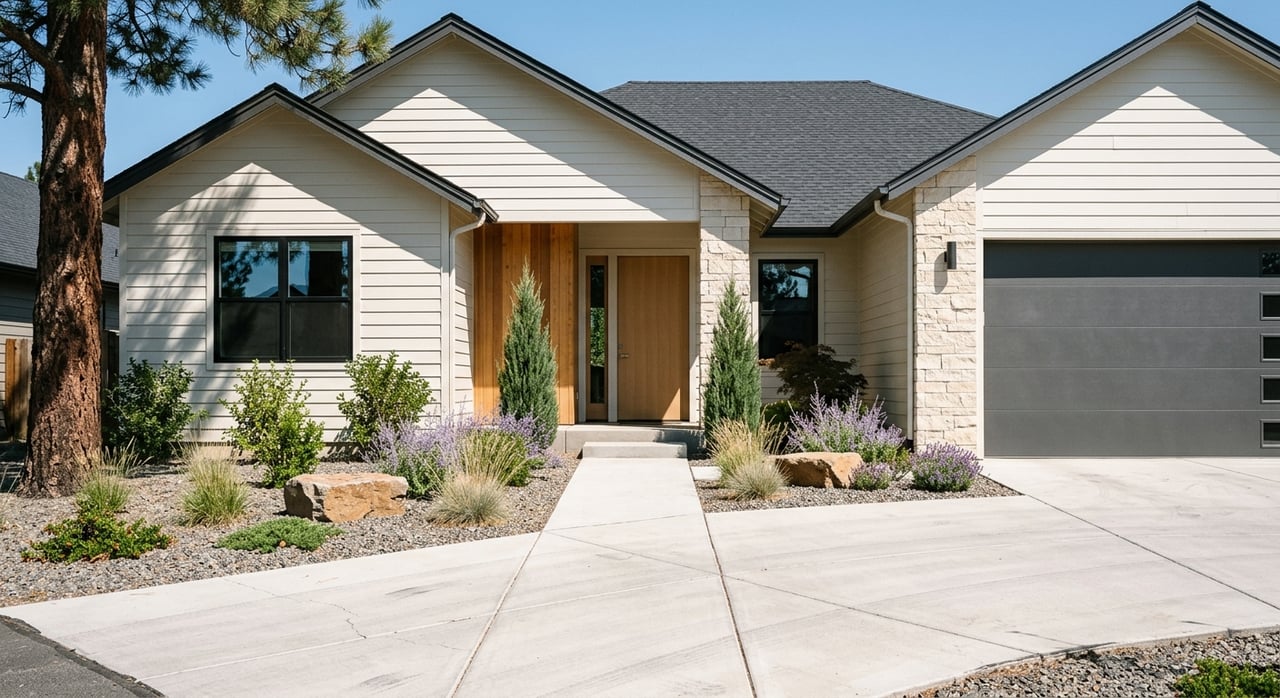
This is the city’s historic core with tree‑lined avenues and large, turn‑of‑the‑century homes in the Old North End Historic District. Downtown adds condos and lofts near cultural venues and Colorado College. Commutes to central jobs are the shortest, and you will find the greatest concentration of transit and bike infrastructure.

North and Northeast: Briargate and Powers corridor

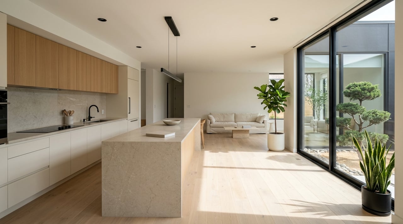
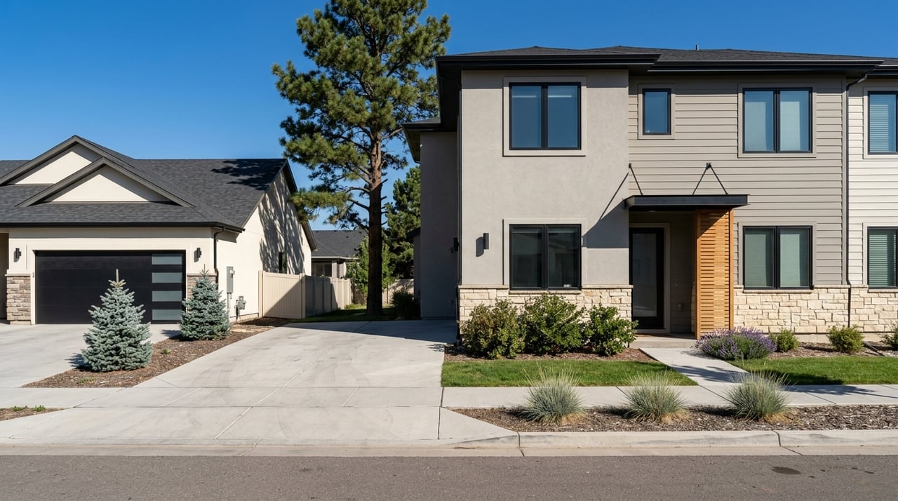
Expect master‑planned subdivisions, newer construction from the 1980s to present, and strong access to shopping and medical services along Powers and Briargate Parkway. Many neighborhoods have community parks, paths, and planned amenities. Commutes to northern employment nodes and the Air Force Academy are generally favorable, though coverage and frequency for transit are lower in some outer subdivisions.

South and Southeast: Fort Carson area, Fountain, Security‑Widefield

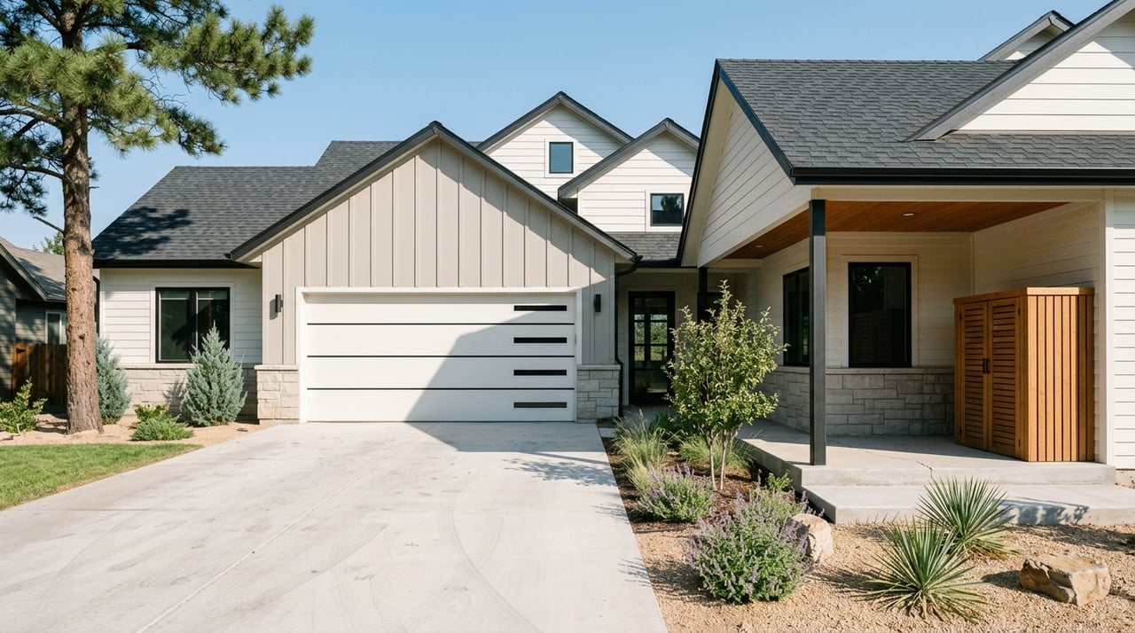
Areas south and southeast appeal to buyers who value proximity to military installations or more attainable price points farther from the core. Commutes to downtown are longer from the outer south, and daily travel patterns often center around base access. You will find a mix of established single‑family neighborhoods and newer suburban developments.

Broadmoor and Cheyenne Mountain area

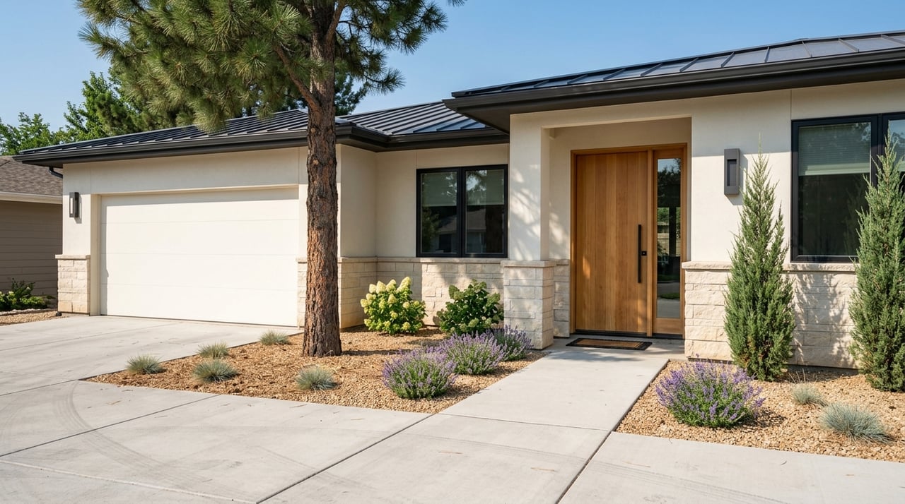
Southwest neighborhoods near Cheyenne Mountain combine mature landscaping, larger lots, and long‑standing, higher‑value homes. Many communities have strong identities and local amenities. Commutes within the south are manageable, while trips to northern employment centers are longer.

Exurban and unincorporated: Black Forest, Peyton, Monument

If you want more land and quiet, look at rural and semi‑rural areas on the edges of the city. Verify utilities, well and septic details, and road maintenance. The tradeoff is more space and privacy in exchange for longer drives and fewer walkable services.

Commute and travel reality checks

Colorado Springs is a driving city with pockets of transit access. The mean commute sits at about 23 minutes citywide, according to Census QuickFacts, but your experience depends on where you live and when you travel. I‑25 handles most north‑south trips, while Academy and Powers carry many east‑side and airport routes. Before you choose an area, test your commute twice during your actual peak times and note best, typical, and worst cases.

Check Mountain Metro Transit for route maps and frequency if you plan to ride. If you will drive, scan CDOT’s I‑25 project updates for ongoing work that could affect reliability. Use your phone’s “depart at” feature to compare weekday morning and evening windows so you know what to expect.

Outdoor access and weekend lifestyle

One of the city’s biggest perks is fast access to iconic landscapes. West‑side neighborhoods shorten the drive to Garden of the Gods and Red Rock Canyon, while central areas offer quick hops to Palmer Park. If you plan to summit or sightsee, review access details via the Pikes Peak Highway guide and scan the City’s Garden of the Gods page for current visitor information. Rank your most likely weekend routines, then weigh the added time if you choose an east‑side or exurban address.

Market fit and timing

Home values vary widely across neighborhoods and change quickly. Treat any citywide median as directional, then drill down to the specific sub‑area you are comparing. Ask your agent for a date‑stamped snapshot that includes recent median sold price, days on market, inventory, and sale‑to‑list ratio for the past 3 to 6 months. When you are confident in your target area, set alerts and be ready to tour quickly.

Risk, overlays, and future change

Colorado’s foothill communities often sit in the wildland‑urban interface, and floodplains follow key drainage corridors. Before you commit to an area, check parcel‑level wildfire and flood exposure and ask about local mitigation. Start with the state’s Planning for Hazards wildfire resources and consult official flood mapping tools. Also review HOA rules, city planning updates, and any long‑range road projects that could influence noise, access, or views.

A simple 5‑step plan to compare neighborhoods

Use this repeatable process to narrow your list:

  1. Define your non‑negotiables. Set a maximum peak commute, outdoor access goals, and must‑have amenities. Add a “nice to have” list so you can make tradeoffs later.
  2. Map commute polygons. Use your phone’s “depart at” feature to draw 10, 20, and 30‑minute travel times from your job, schools, and frequent stops. Cross‑check current projects on CDOT’s site and available transit via Mountain Metro.
  3. Pull key data for each area. For your short list, get a recent 6‑month snapshot of median price and days on market, confirm school assignments on district pages such as Academy District 20, and screen for hazard flags using Colorado’s wildfire planning portal.
  4. Visit twice. Tour on a weekday morning and a weekend afternoon. Note traffic, parking, grocery access, cell coverage, and night lighting. Listen for noise and check how busy nearby parks and trails feel.
  5. Verify the fine print. For any serious property, confirm HOA rules and dues, ask for seller disclosures, and evaluate systems like roof and HVAC. If you are looking beyond city limits, verify well, septic, and road maintenance.

Quick reference: trusted local sources

How I help you choose with confidence

You do not have to figure this out alone. With a data‑first, boots‑on‑the‑ground process, I help you compare areas the way a local does. We start by defining your commute tolerance, outdoor and amenity goals, and home style preferences. Then I map drive‑time options, pull fresh market stats for your short list, and flag parcel‑level hazards so you see the full picture.

As a U.S. Air Force Academy grad who has navigated military and corporate relocations, I understand timeline‑driven moves and how to balance value against daily life. You will work directly with me from search to close, and I will connect you with trusted inspectors and vendors when it is time to evaluate a property. When you are ready to sell, I leverage Compass tools and polished marketing to prepare your home and reach more buyers.

Ready to find your fit in the Springs? Schedule a free consultation with Harrison McWilliams, and let’s plan your next move.

FAQs

What is the average commute time in Colorado Springs?

  • The mean commute is about 23 minutes citywide, according to Census QuickFacts, but your actual time will depend on neighborhood and time of day, so test your route during peak hours.

How do I compare outdoor access between neighborhoods?

Where can I verify school assignments for a specific address?

  • Check the relevant district’s official site for boundaries and policies. As an example, review links and policies on Academy District 20 and then use the district’s boundary tools to confirm parcel‑level assignments.

How can I check wildfire and flood risk before I buy?

  • Start with Colorado’s Planning for Hazards wildfire resources and the official flood mapping tools for parcel‑level context, and review local mitigation information with your agent and insurer.

What should I ask about HOAs when I like a home?

  • Request HOA documents and fee schedules, ask about recent or planned assessments, and confirm any architectural or landscaping rules that could affect your plans.

Work With Harrison

To always be authentic with my clients, team, and partners. Contact me today!